
Make informed decisions.
Gain insight into industrial-digital tech trends and track solution adoption by use case, technology, industry, and function.


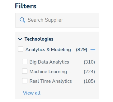
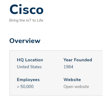
Discover companies that match your ideal target prospects
Supplier Database ...

Case Study Database ...
